|
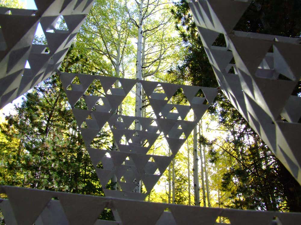
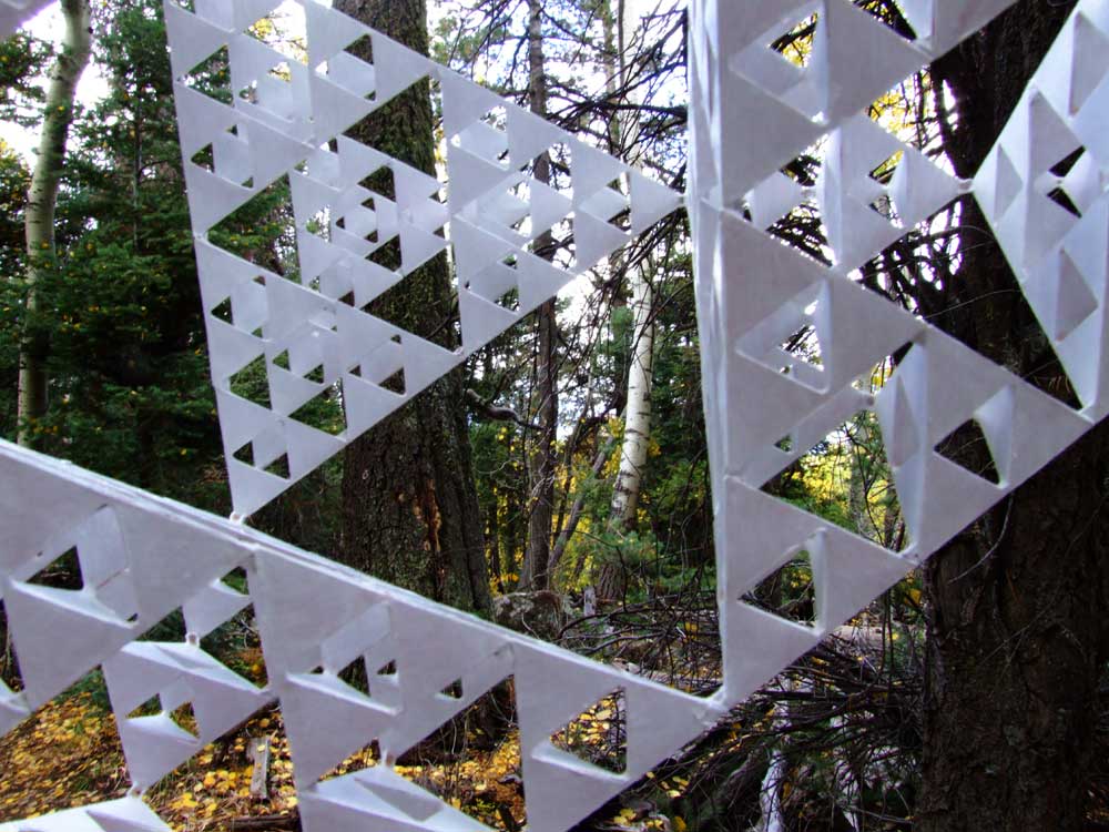
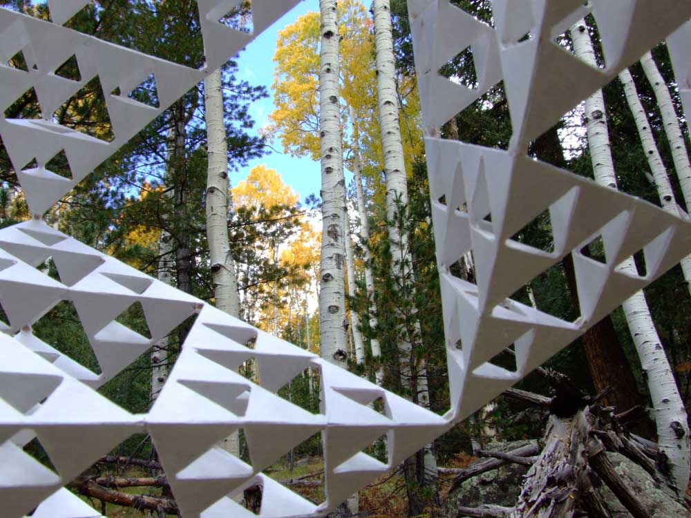
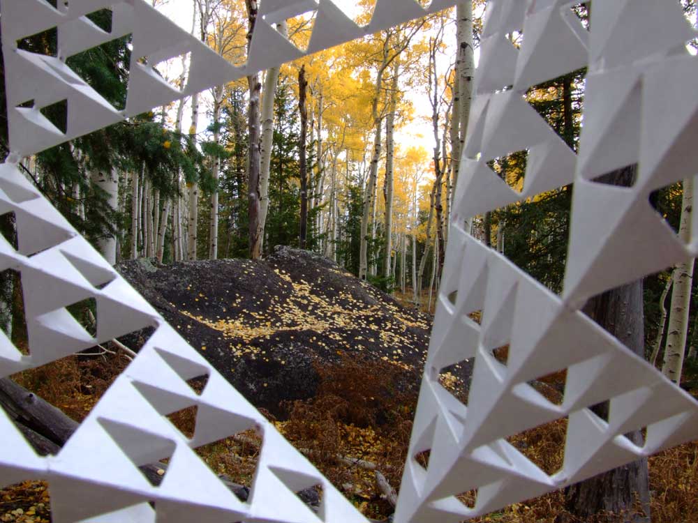
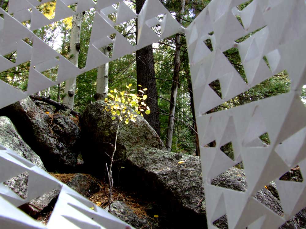
a thru-tetras view of changing Aspen |
|
|
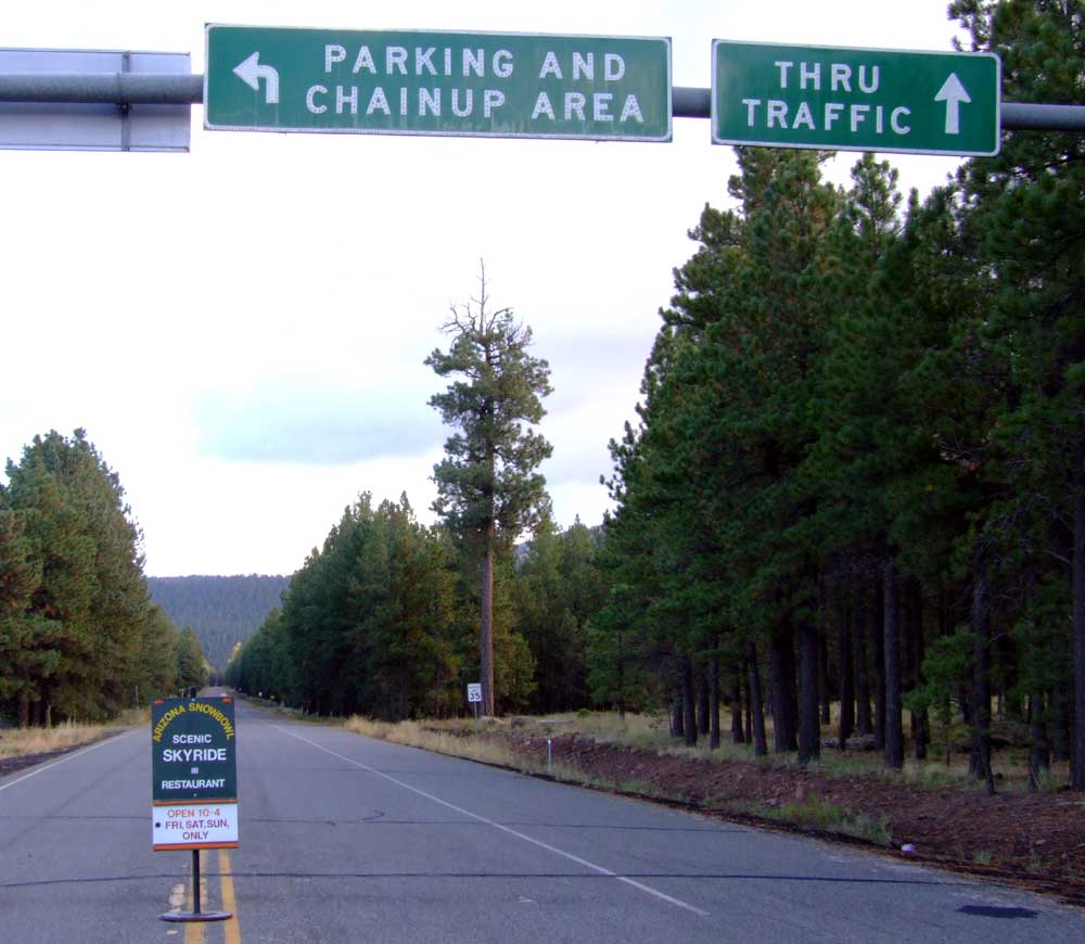
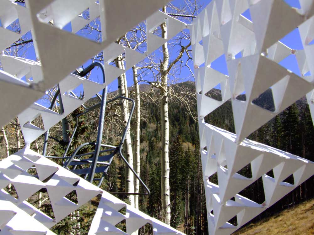
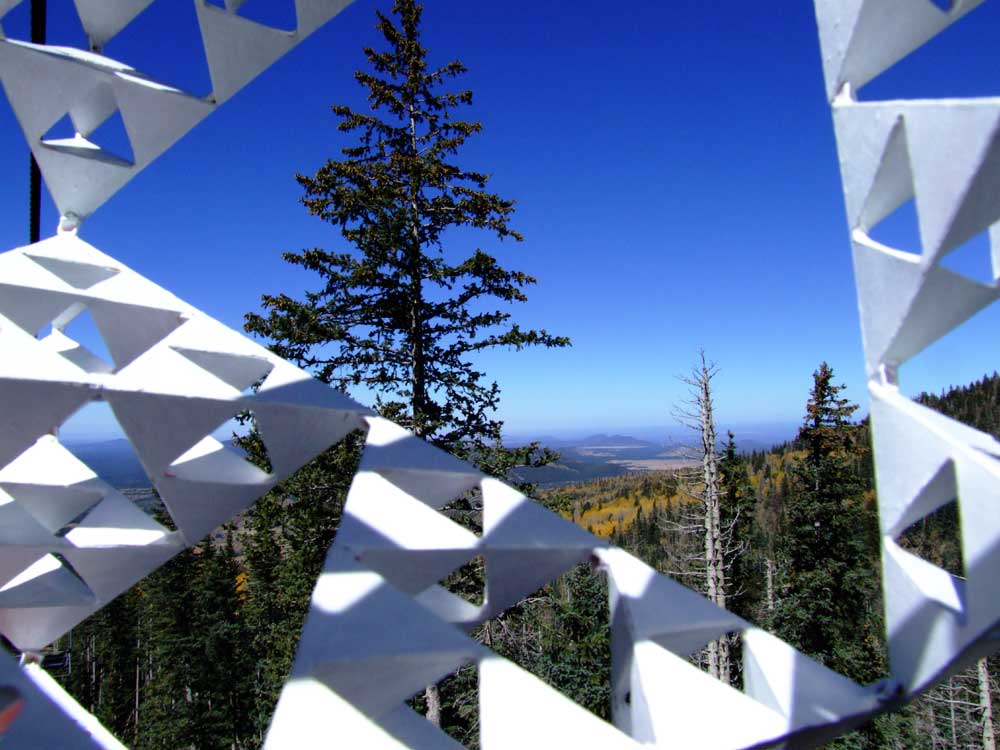
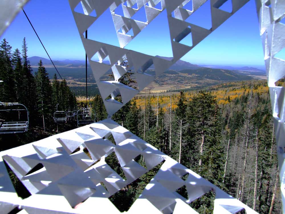
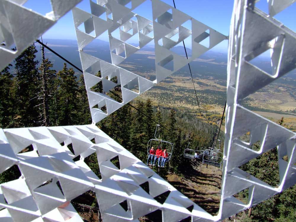
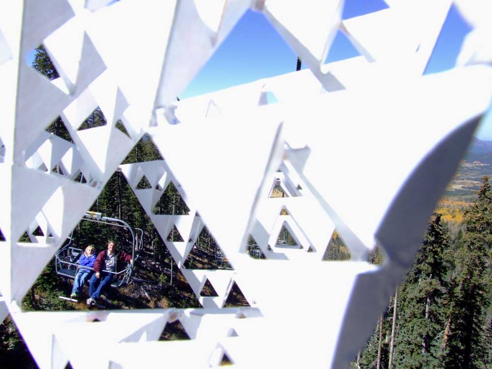
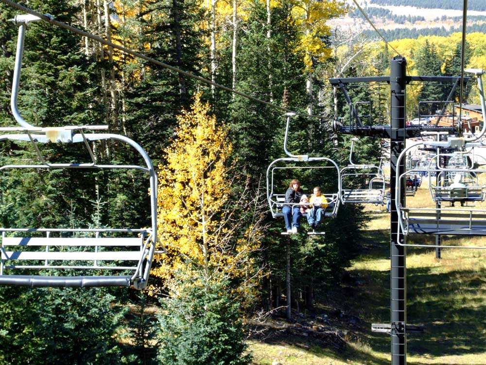
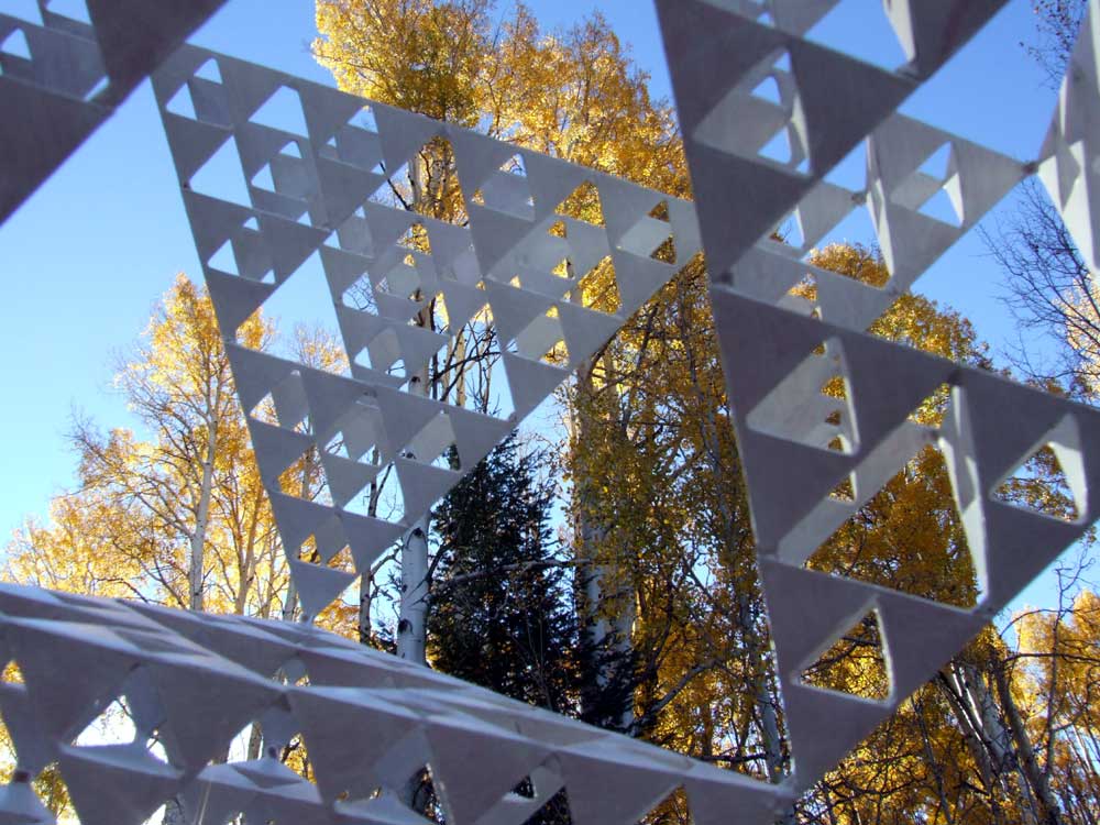
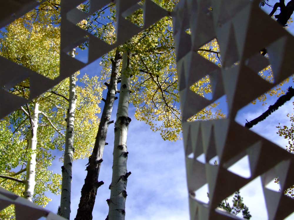
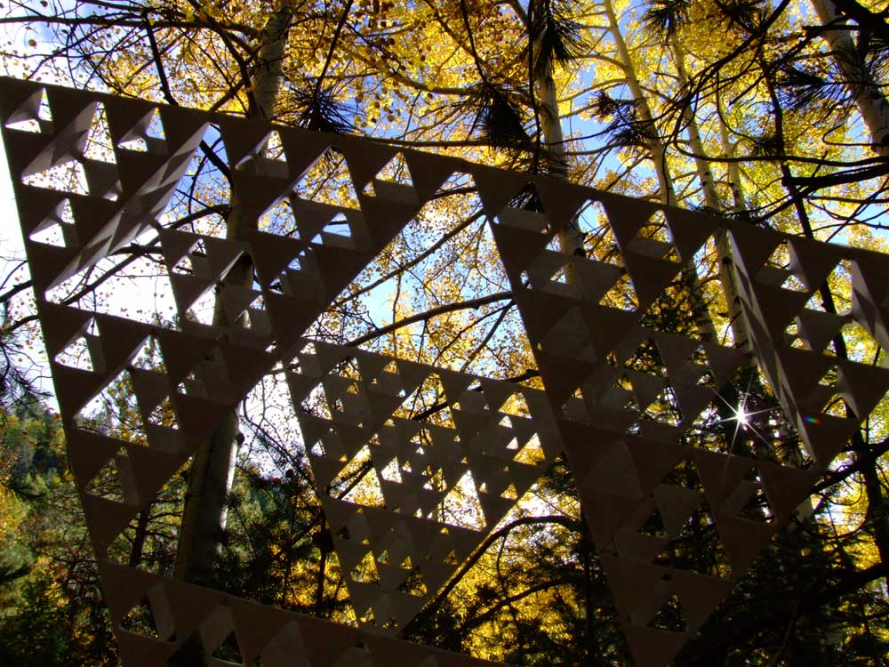
There is seven miles of winding 2-lane paved road between the sign on the left and the sign on the right. All of the pictures on this page were taken in the area of that seven miles, most of them in the last mile before the Snowbowl, at about 8,500 feet or higher. The base of the Snowbowl is at 9,500 ft. elevation. The top of the mountain where the ski lift (or sky-ride) ends is at 11,500 ft. These were taken on October 7 and 8, 2006, a week after the aspen were at their peak of change. |
|
|

|
|
|
|
||
|
|
|
|
|
||

|
|
|
|
|
||
|
|

|
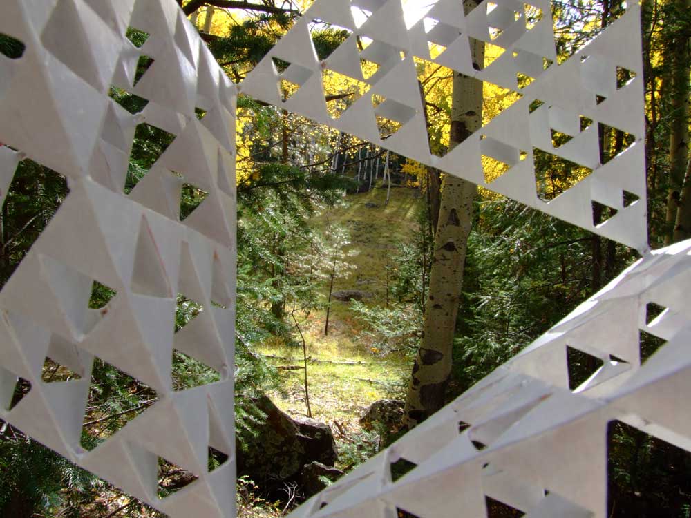
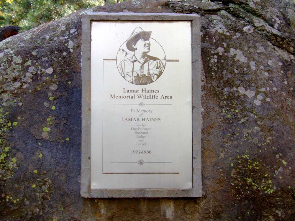
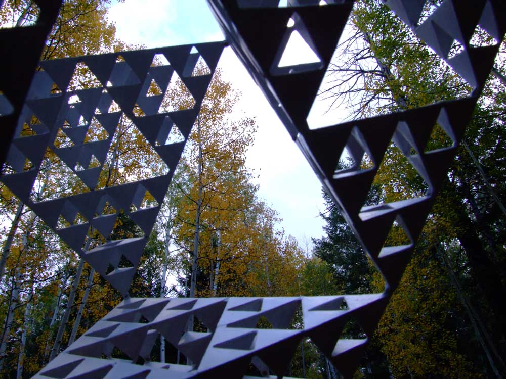
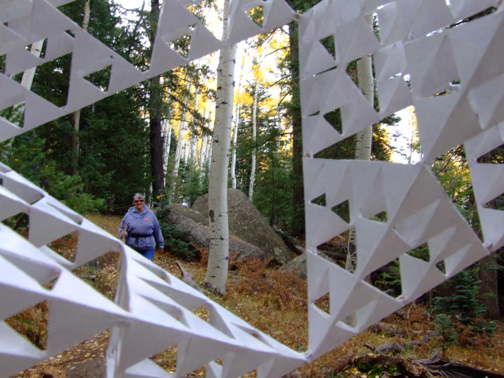
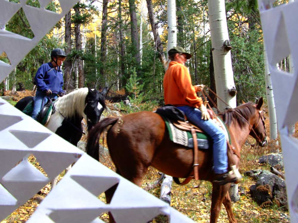
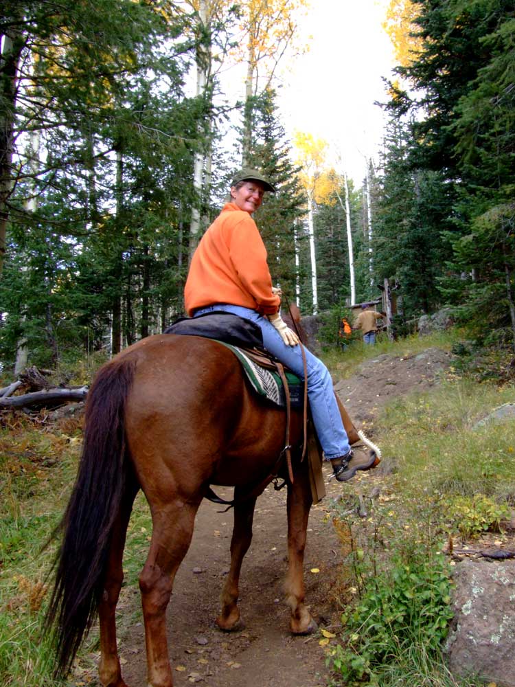
The above row ends the pictures taken at the location of the Arizona Snowbowl on 10/07/06. The next set of 5 rows of images were taken on the Viet Springs trail (also calle the Lamar Haines Memorial Wildlife Area), my first stop on Saturday morning 10/08/06, about a mile away from the Snowbowl. |
||
|
|
|
|
|
||
|
|
|
|
|
||

|
|
|
|
|
||
|
|
|

|
|

|
|
|
||

|
|
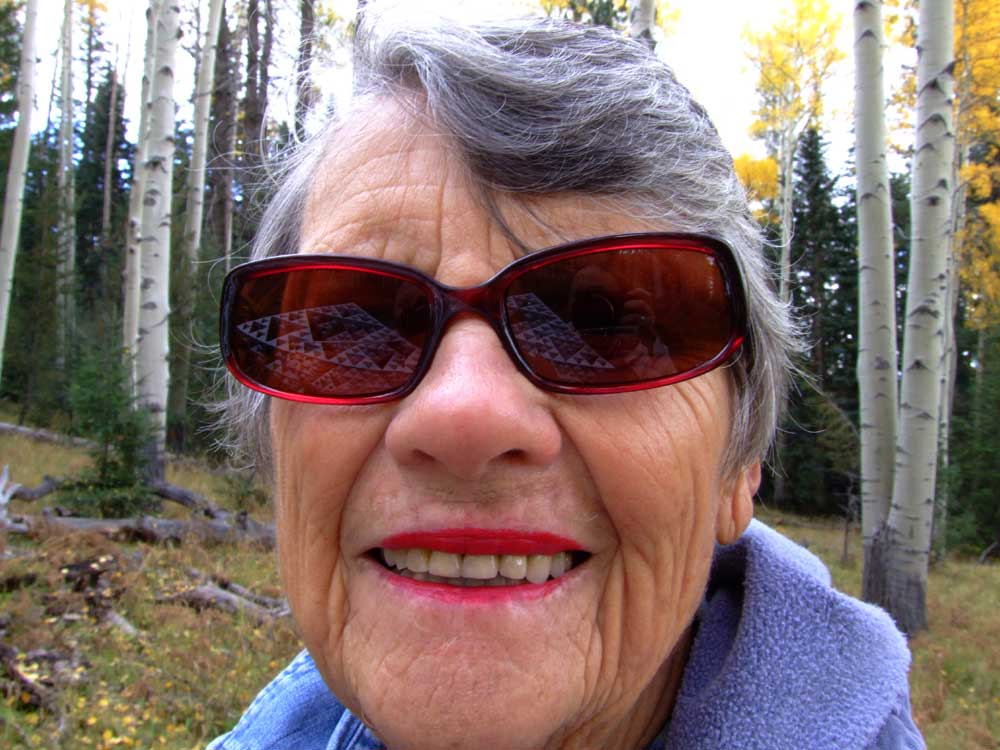
The image above and the two below are placed here with permission from Emily Kruljac. She doesn't use the internet, but her son does and he will enjoy the pictures. I hope you will, too! Emily was a great sport, letting me in for a close-up as I noticed my Sierpinski tetrahedron reflected in her glasses while she was asking about it. |
|
|
|
|
|
|

|
|
|
|
||

|

|
|
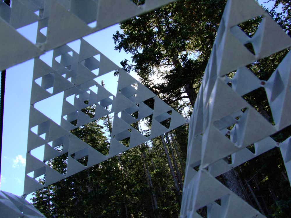
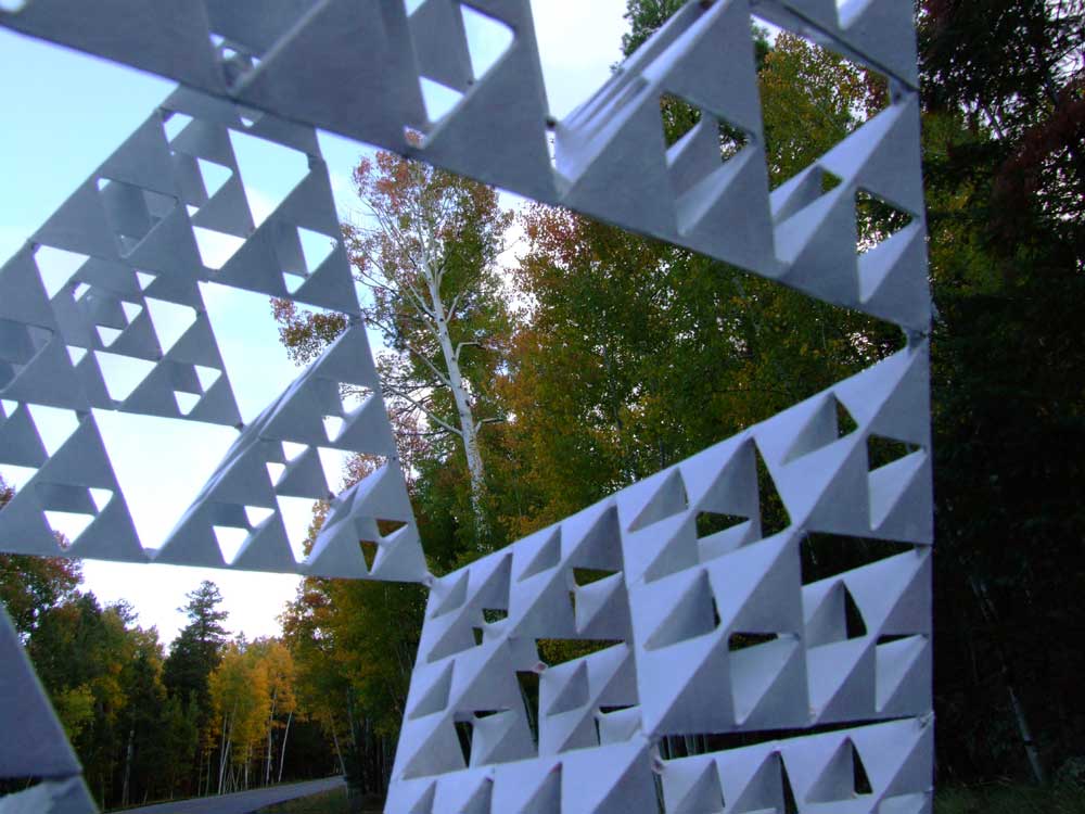
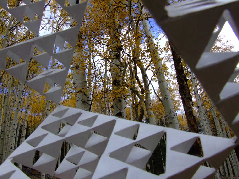
I accidentally chose pictures from the Kachina Trail with the tetrahedrons at the same orientation! The point (one point) of the pictures is to show different interior views of the structures. Different pictures will be placed here soon. |
|
|
|
|
|
|
||

|
|
|
|
|

|
|
|
|
|
| Frequently Asked Questions |
|
The contents of this web page are © Copyright Gayla Chandler. Permission must be sought for all but personal use for study or enjoyment. |